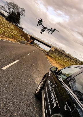
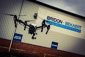
Aerial Photography has been around since the dawn of aerial vehicles. Now, with the use of Unmanned Aerial Vehicles ( Drones ) I can provide a safer, more affordable, and more flexible option for aerial photography. I use 4K and High Definition Digital Cameras in the air and capture breathtaking images for our clients. I have the desire and experience to provide you with the right package and I cover the whole of the UK.
My name is Andrew Bryson and I am based in Morpeth, Northumberland. Up to July 2015 I'm the FASTEST trained UAV pilot in the UK, read my story here. I'm CAA approved, fully insured by Coverdrone and qualified through RUSTA.
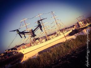
Events
Event photography from above.
I have worked on some major events over the last few years, like the tour ship regatta, where are supplies all aerial footage to the TV channels, local media and social media for the event
Aerial 3D mapping
3D aerial surveys are a great way to check a site or location for planning purposes or even as a site progress report. We can fly over the site with a pre-programmed route taking images as we fly to create a 3D model.
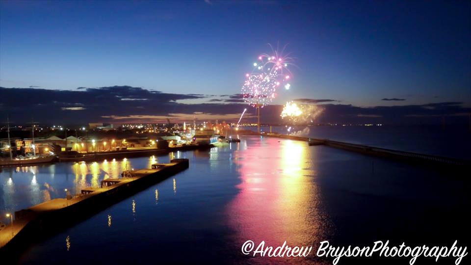
Flying at Night
I have full permissions from the CAA to carry out night flights
Progress reports
I have been working on the New Morpeth Northern Bypass for the last two years, where I have been doing monthly progress reports for the Board Meetings, site inspections, video footage and aerial photographs to release to social media and I have undertaken 6 months time-lapse of the new underpass on the A1 on the project
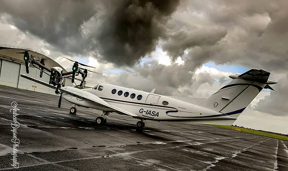
Restricted areas
I can get permission to fly within restricted areas and No Fly Zones such as airports etc
AERIAL SURVEYS
Aerial Surveys previously have been notoriously expensive operations, however with access to innovations such as my Aerial Drones, I'm able to survey most areas without any inconvenience and at a cost that won’t break the bank.
My aerial camera drones are able to fly from ground level to 400ft above ground making it able to reach and view areas without the need for scaffolding or cranes, therefore being a far more convenient and impressive way to complete the task.
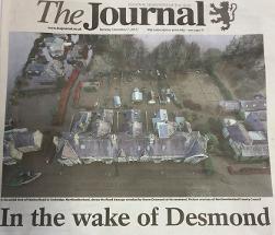
Emergency Operation
Drones give you an unique view of any emergency situation that may arise.
Images were instantly sent back to the Emergency Operation Room at West Hartford Fire Station, so the Emergency Services, Northumberland County Council and Environmental Agency could see what was actually happening in real time and could act accordingly to the situation.
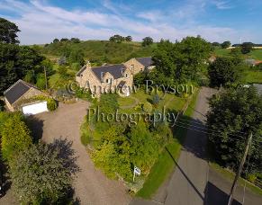
Property Photography
An aerial photograph or short video of a property will greatly increase its saleability. Not only does the image give a better idea of the size of the property but it also shows the extent of the gardens and land and it can better describe the setting of the elements for sale.
Internal Images
Photographs are a key factor in the decision-making process of potential customers. In most cases the photo creates the first impression.
I will concentrate on getting vibrant, marketable shots for the property industry, that can be used online, in print, or at the office to produce high quality marketing materials that raise your profile among your clients.